
Finding Oshtemo Township Residents Carefully
There is no official township-wide file that confirms every current resident. The useful substitute depends on the question. A parcel card can identify the owner of record, while a voter lookup can help an individual check registration and polling information. A deed identifies parties to a land transaction, and an old directory documents a printed entry from a particular year. None of those facts automatically proves who lives at an address now. Keep the record type, source date, and any mismatch between a mailing line and the parcel’s government unit.
Start with the most specific information available. A current address is best for property work. A full name and an approximate date are better for an older family trail. When a search returns several similar names, use a parcel number, instrument number, case number, or historic street line to separate them. The Oshtemo Township residents directory is most reliable when it follows that narrow, documented path.
- Search the Kalamazoo County Parcel Search by owner, parcel ID, or street. Save the government unit as well as the address.
- Use the Michigan Voter Information Center only for its intended individual registration and district purpose.
- Follow a land connection through the official records index, searching both grantor and grantee names.
- For a past household, compare a directory year with KPL’s local-history materials, maps, Gazette citations, and a deed or probate record.
- Ask the proper custodian for a defined record when no index is available. A narrow request is faster and protects private material.
Note: A good result describes the source’s fact, not a timeless claim about a person.
Oshtemo Township Resident Records Offices
Oshtemo Township is a charter township in Kalamazoo County. That matters because a Kalamazoo postal line can appear on a township parcel. The township routes assessment, GIS, building, planning, clerk, and records requests locally. County offices retain land, court, vital, and election functions. For a whole-road inquiry, the address chain belongs on the Oshtemo Township street directory path rather than in a name-only search.
Kalamazoo County Register of Deeds
201 W Kalamazoo Ave
Kalamazoo, MI 49007
269-383-8970
Oshtemo Assessing
7275 W Main St
Kalamazoo, MI 49009-8210
269-216-5225
Michigan and County Elections
State lookup and county routing
Kalamazoo County, Michigan
269-384-8080
Oshtemo Township Parcel Search Fields
The county search is the main current-property starting point for the Oshtemo Township residents directory. Its Owner, Parcel ID, and Street tabs answer different questions. Owner search accepts any part of a name, with the county recommending a last-name-first format such as “SMITH J.” A street name alone can return many parcels. When the spelling is uncertain, the county advises trying only the street number. Results must be checked in the parcel detail, not treated as a final name match.
| Search field | Input | Useful detail | Careful use |
|---|---|---|---|
| Owner | Any portion of a name | Owner entries and joint names | Try spelling variants, then inspect the card |
| Parcel ID | Full ID or prefix | One property or a grouped result | Example formats use spaces or hyphens |
| Street | Number and street, or street alone | Parcels along the road | Record the Gov Unit in the result |
The county grid example identifies the prefix 05 as Oshtemo, followed by section, quarter-section, and parcel components. It is a routing clue, not a legal boundary decision. A 06 prefix can point into Kalamazoo City, Kalamazoo Township, or Parchment, so the Government Unit field remains the final check.
At the County Parcel Search, the Owner, Parcel ID, and Street tabs show the choices described here.
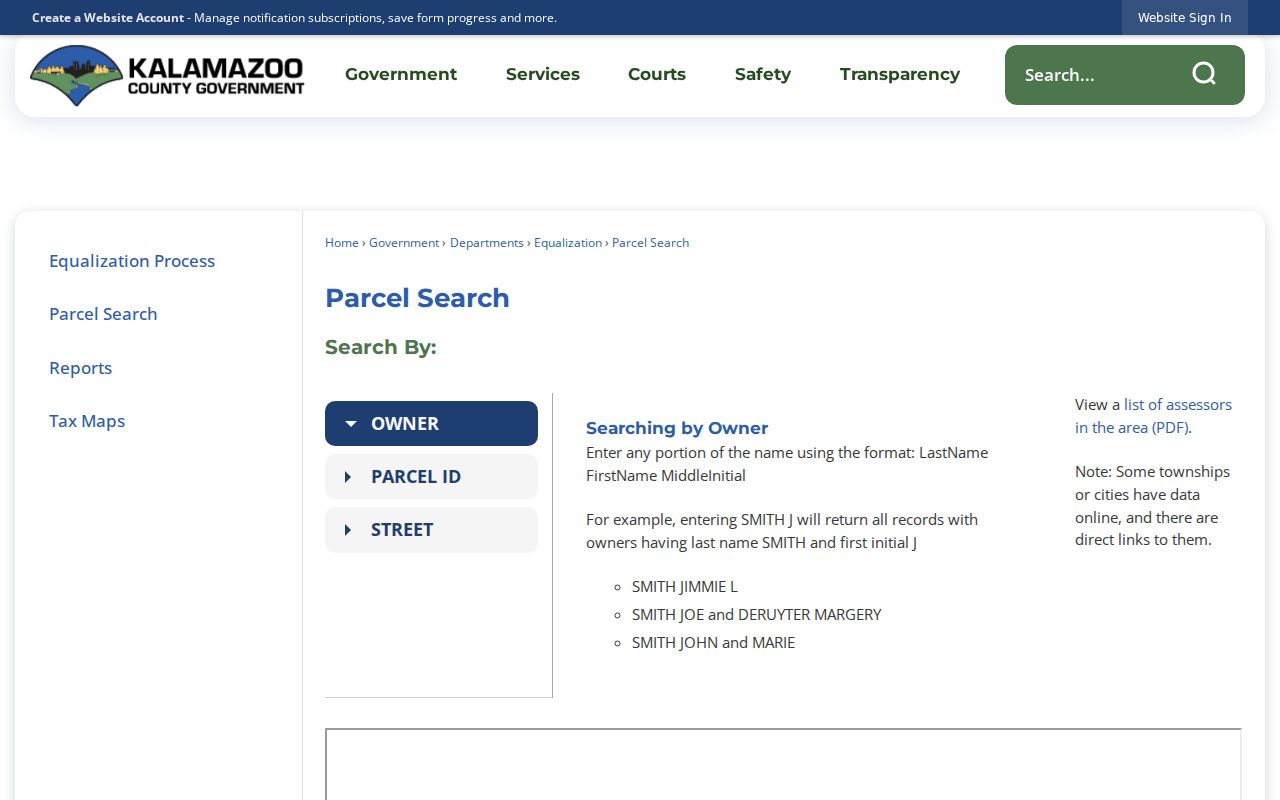
The screen reinforces why a street result is an address and parcel tool, not a universal list of people.
Reading an Oshtemo Township Parcel Result
Once a result opens, retain the parcel number, owner, mailing address, situs address, legal description, government unit, assessment year, and any sale or transfer information the card displays. A situs address identifies the property’s location. A mailing address tells where notices go. They can differ. The BS&A Oshtemo page also offers Address, Name, and Parcel Number modes with current tax, property sale, and assessing options. Its pages are reference information, and the visible portal did not establish every historical filter or coverage date.
Oshtemo Assessing handles sales, property characteristics, new or remodeled structures, personal property, land divisions, and Principal Residence Exemption matters. Its posted response is normally within 24 hours, though busy periods may take as long as seven days. County Treasurer information can differ temporarily from local records after a payment, so one payment status should not be used as proof every ledger is current.
The BS&A municipal search displays the local menu for the property and tax routes.
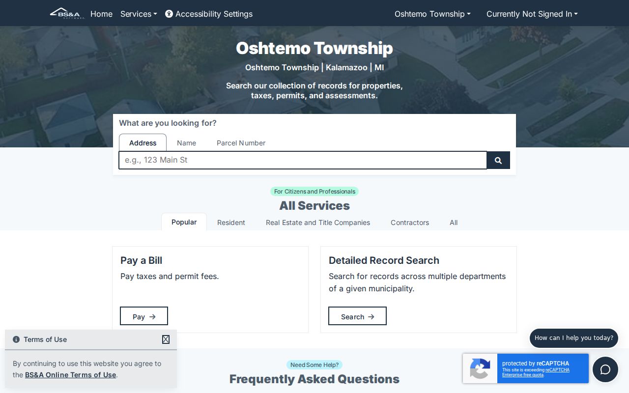
Use the same parcel identifier when moving from a property card to a map or an older land record.
Current Oshtemo Township Directory Sources
Current sources are fragmented by purpose. The property record identifies an owner of record. The voter system supports registration, polling-place, and district checks for an individual. The recorder index names parties to instruments. Township employee contacts identify public officials and staff, not residents. That division is a useful safeguard when comparing results in the Oshtemo Township residents directory.
| Record source | Fact it can support | Custodian | Access path |
|---|---|---|---|
| Parcel and assessment record | Owner, parcel, situs and mailing fields | Oshtemo / county | Online search and office routing |
| MVIC voter lookup | Individual registration, polling place, district | Michigan Secretary of State | Official individual lookup |
| Recorded land index | Deed, lien, mortgage, or plat parties | Register of Deeds | Name-first index and copies |
| Township employee directory | Public office contacts | Oshtemo Township | Official online directory |
| KPL historical collections | Past printed entry or local citation | Kalamazoo Public Library | Library, database, microfilm |
A name that needs careful confirmation belongs on the Oshtemo Township resident lookup route, where court, vital, and safety records have their own limits.
Oshtemo Township Voter Record Limits
The Michigan Voter Information Center is the proper first stop for a person checking registration, polling place, or district. Michigan law, including MCL 168.509q, distinguishes public voter-file fields from protected information. Name, residence address, city, state, ZIP, and certain voting-history fields are governed by that framework. Month and day of birth, identification numbers, phone numbers, and signatures are not public.
The registration form itself collects much more information than a public lookup should reveal. Michigan does not register party affiliation, and a primary-ballot choice is not a permanent party record. A voter result is also not an ownership record. A registered person may be an occupant, while a parcel owner may be elsewhere. Record the lookup date and avoid publishing sensitive or protected details.
The state voter lookup is shown as an individual information tool.
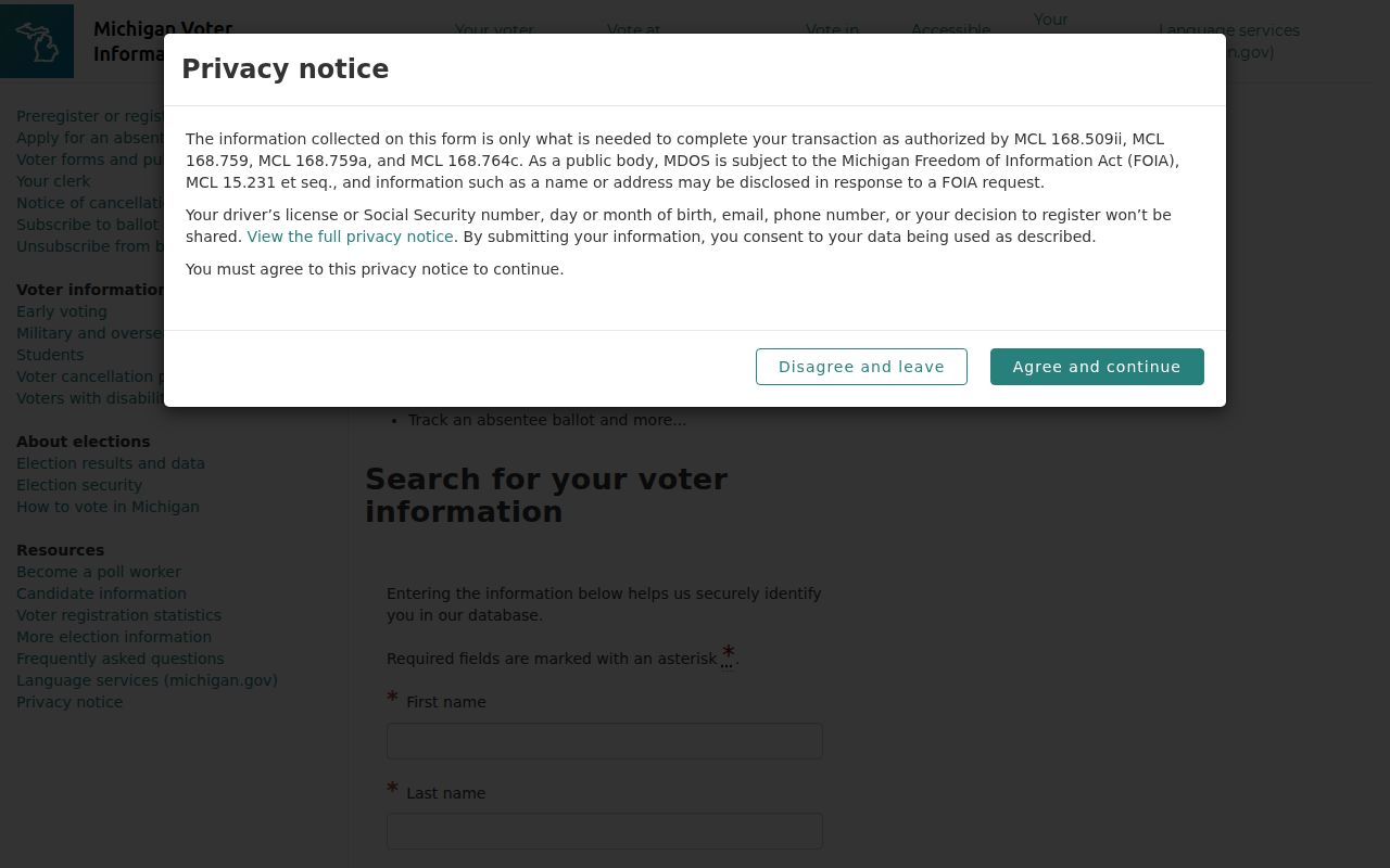
It is best used to confirm a civic record for the person making the inquiry, not to build a household list.
Deed Trails for Oshtemo Township Names
The Kalamazoo County Register of Deeds records and preserves deeds, mortgages, liens, plats, easements, and related instruments. Its images reach back to 1831, while the county describes the complete index as reaching back to 1984, with more documents being added. Search by name first. The recorder specifically warns that an address search can be incomplete. A deed chain follows current owner to prior deed, then grantor and grantee directions, using spelling variants, legal descriptions, parcel references, and instrument numbers together.
Copies cost $1 per page plus a $2.50 technology fee. The office does not perform title searches or give legal advice. A public index hit is not a title opinion, a survey, or a conclusion that a person currently lives at the parcel. For records older than the online index, KPL reports deed microfilm and grantor-grantee indexes for 1831 through 1903.
The Register of Deeds links to the county’s name-first land-record search.
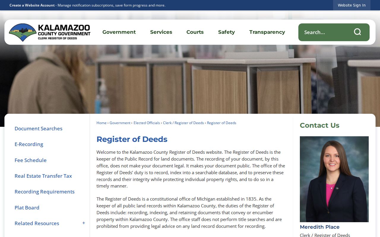
Moving between the index, a copy request, and the counter is often necessary for a complete instrument trail.
Oshtemo Township Courts and Safety Checks
A court name search, a criminal-history search, a corrections search, and a registry search answer different questions. MiCOURT Case Search allows a person or business name or a case number, with filters such as case type, year, status, judge, and public or suppressed status. It is informational rather than the official record, and several kinds of cases are excluded or sealed. A same-name result needs a court, case number, date, and additional official confirmation.
Michigan ICHAT is a $10 name-based criminal-history search with stated exclusions. OTIS covers current state supervision and people discharged within three years, not a complete record. The public safety registry has its own name, address, city, county, ZIP, registration-number, and neighborhood-radius paths, while juveniles and protected information are excluded. MI-VINE is a confidential notification service, not a proof of residency.
The MiCOURT search presents its court and name-search options before a record is selected.
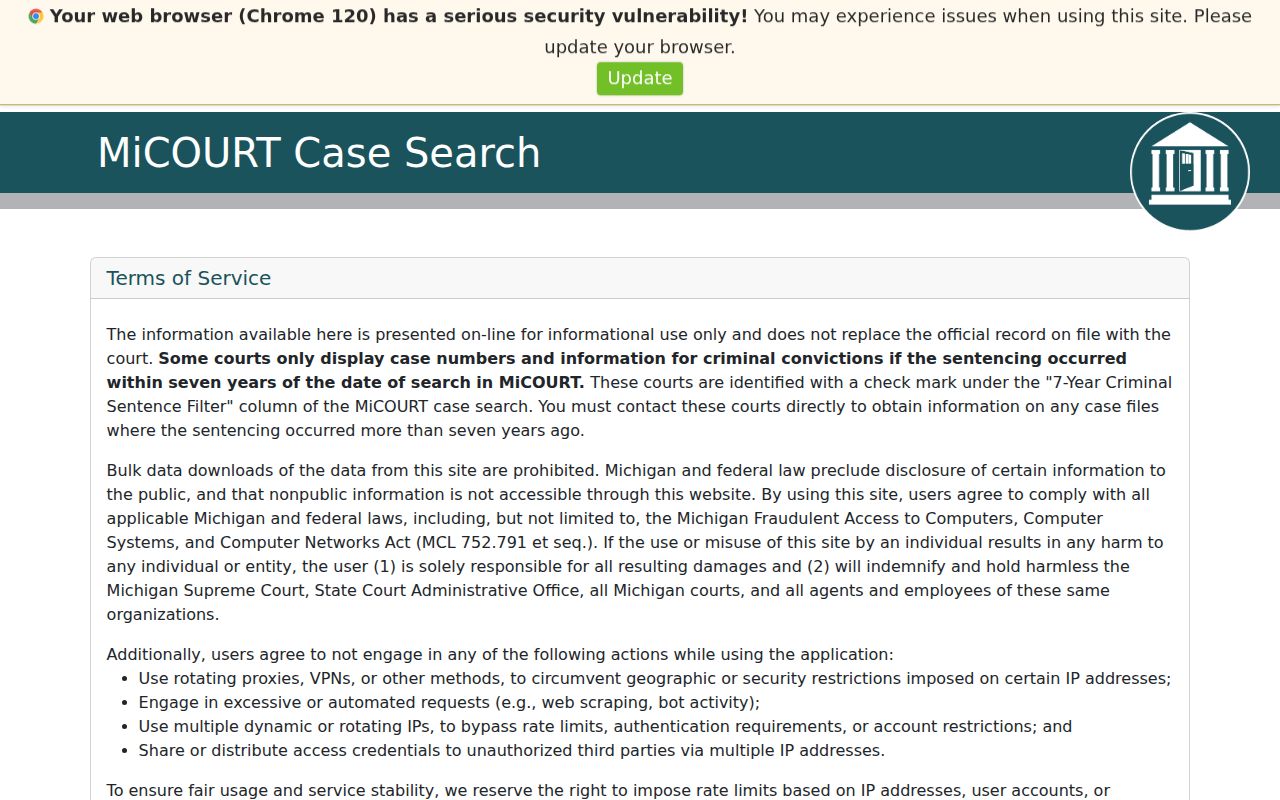
Choose the court and case details carefully, then confirm any record through the clerk where necessary.
Oshtemo Township Terms That Matter
Record labels prevent a search from becoming an overstatement. They also make it easier to retrace a result when a portal changes or an old street appears under a new postal label.
- Parcel
- A tax and mapping identifier for a piece of property. It ties a card, map, and legal description together.
- Index
- A finding tool that points to a record. It may not include every image, field, or year.
- Roll
- A list kept for a particular government function, such as assessment or voter registration. It is not a universal resident list.
- Criss-cross directory
- An address-to-name directory. A Kalamazoo 1945 reference exists, but the exact local year run has not been verified.
Oshtemo Township FOIA and Office Requests
When a township record is not posted, identify the custodian, street or parcel, date range, record type, and desired format. The Oshtemo Clerk’s FOIA page provides the request form and policy. Michigan FOIA is MCL 15.231 et seq. The township describes a five-business-day response framework, with a possible statutory extension. It also permits inspection and paper, electronic, digital, or certified copies, subject to the policy’s fee and exemption rules.
A request for “all records about” a person is both hard to process and likely to implicate protected material. For building history, ask the Building Department about the defined permit or inspection record. For a narrow zoning question, Planning’s verification request costs $50 per property and only reports the listed zoning facts. Broader township files belong with the Clerk and a focused request.
The township FOIA page shows the local submission route and policy links.
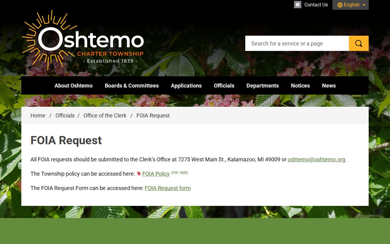
Its request process is a fallback for defined township records, not a shortcut around vital, court, voter, or protected-address rules.
Postal Lines in Oshtemo Township Records
ZIP codes route mail, not government boundaries. Township Hall uses a Kalamazoo, Michigan mailing address in ZIP 49009, and county street-directory examples place N 10th Street, Oshtemo Trace, and Oshtemo Ridge Trail in 49009. That does not make every 49009 address an Oshtemo parcel. A road can cross a boundary, and one ZIP can serve several government units. USPS address lookup is the first postal check, followed by the county street directory, GIS, parcel situs, mailing fields, and Government Unit.
Oshtemo’s public map and the county parcel viewer can help locate a parcel, but their property lines are approximate. A map pin is not a survey. For an address-wide result, record the parcel ID and legal description before drawing an inference from the map. The ZIP-specific approach is kept separate in the Oshtemo Township ZIP code directory.
Oshtemo Township Family History Records
For a deceased person or an older family connection, use a sequence of records rather than a broad name search. Kalamazoo County vital records list birth records from 1867, marriage records from 1831, and death records from 1867, subject to access rules. Marriage and death indexes are available under the county’s stated historical rules, while birth access is more restricted. A probate index, recorded deed, cemetery record, Gazette notice, and a printed directory can each add a dated piece of the trail.
Oshtemo manages three cemeteries, and township material says the Clerk keeps burial records for public inspection during reasonable business hours. KPL separately identifies a private memorial garden, which should not be mistaken for a township-managed cemetery. The county’s probate index can offer case number, type, status, filing date, attorney, fiduciaries, and document entries, but no document images are posted online. An estate lead needs corroboration from its case number, dates, and land or family record.
Historic Oshtemo Township Directory Trails
Kalamazoo Public Library’s Local History collection is the historical shelf for an Oshtemo Township residents directory search. KPL reports a long Kalamazoo city-directory run beginning in 1860, mostly paper with some microfiche. A related source describes R. L. Polk volumes from 1860 through 2018, but the library cautions that not every year is present and alternate years are common. A city directory may include or omit township residents depending on its publisher’s reach.
KPL also holds maps, atlases, Gazette microfilm, the Local Information Database, vital-record card files, and the Meader Historical Directory. The Meader set comprises 36 volumes compiled in the 1930s and 1940s, with indexed biographical sketches and often portraits. It is historical context, not a current list. Search an exact address, note the printed place label and year, then compare the entry with a deed, map, Gazette citation, probate source, or cemetery record.
For collection dates, reading methods, and the limits of a Kalamazoo postal label, use the Oshtemo Township city directory collections.
Note: A missing directory entry can reflect a skipped year, a rural-route omission, a spelling variation, or scope limits.