
Oshtemo Township ZIP Code Evidence
Official material supports a narrow, documented statement for Oshtemo Township: ZIP code 49009 appears on township facilities and on specific county Street Directory entries. It does not support a complete physical ZIP map or a township-wide address-to-ZIP list. The evidence table therefore has one factual row and identifies its limit directly. A different ZIP should not be added as township coverage without address-specific USPS output or another official source that supports it.
| ZIP | Source-supported area | Postal facility | Evidence and limit |
|---|---|---|---|
| 49009 | Oshtemo Township facilities and cited county street examples only | USPS Oshtemo Station, 3885 S 9th St, Kalamazoo, MI 49009-9997 | Verified local evidence, not a complete township coverage claim |
Oshtemo Township’s mailing address at 7275 W Main uses 49009-8210, and Flesher Field is also listed in 49009. The county Street Directory identifies 49009 for the cited Oshtemo street entries discussed below. No official source in the research produced a complete township ZIP polygon, list, or full address crosswalk. That gap matters more than filling a table with unverified postal claims.
Verify an Oshtemo Township ZIP Code With USPS
The USPS ZIP Lookup requires a street address and returns an address-specific postal result. Enter the full address rather than starting with a presumed ZIP. USPS warns that its output does not confirm that a person or company is at the address. It establishes postal routing for that address, which is useful, but it does not establish an owner of record, a current occupant, or the governmental unit.
The USPS lookup screen shown here displays the address-based starting point and the accompanying limitation.
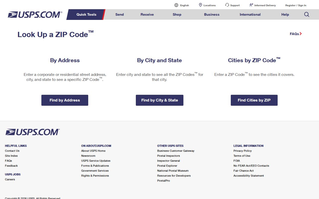
Save the date of the USPS check with the exact address entered. If the county parcel result has a different mailing field, retain both rather than replacing one with the other.
The USPS Oshtemo Station is located at 3885 S 9th St, Kalamazoo, MI 49009-9997.
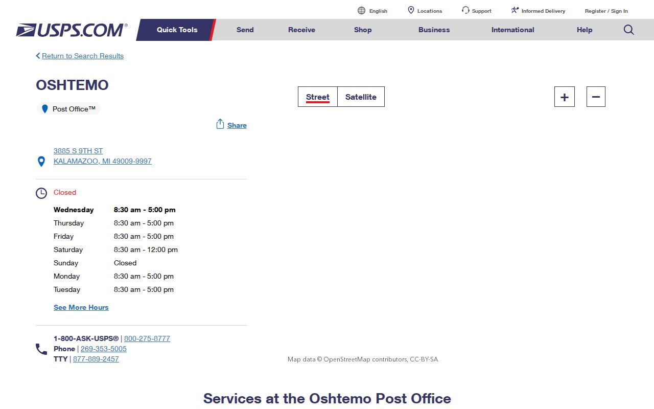
The station listing confirms a postal facility ZIP. It does not define the township’s entire delivery area or establish a complete ZIP boundary.
Narrowing an Oshtemo Township ZIP Search
Once USPS returns a ZIP for a precise address, use the local record sequence to test the address rather than trying to build a resident list from the ZIP alone. The county Street Directory adds a dated road range and municipality label. Oshtemo GIS and the county parcel result can then identify the property address, parcel, mailing field, and Gov Unit. BS&A’s Address mode is a further property-record route. None of these sources was verified as a complete historical ZIP-change database.
- Run the exact street address through the USPS lookup and note the date and returned ZIP.
- Check the Kalamazoo County Street Directory for the road’s cited range, municipal line, and any ZIP shown for that entry.
- Search the Oshtemo Public Web Map by property address, then keep the parcel number and map context with the result.
- Use the County Parcel Search by street or address and verify the Gov Unit, situs field, and mailing field in the property detail.
- Use Oshtemo BS&A Address search only as a property-record comparison. Do not treat a ZIP-coded result as proof of a current person at the address.
When the ZIP check has narrowed a search to a named road, the Oshtemo Township street directory provides the fuller address and parcel workflow.
Oshtemo Township ZIP Code Search Fields
Not every ZIP-capable source has a ZIP filter. Several record systems take an address or street as the input, then provide fields that can be compared with USPS postal output. That distinction avoids a false claim that a county property search can return every parcel in a ZIP. Use each input as documented, then compare the returned address, property, and government fields.
| Source | Documented input | ZIP-related value | Known limit |
|---|---|---|---|
| USPS ZIP Lookup | Street address required | Address-specific ZIP output | Does not prove a person or company is present |
| County Street Directory | Street entry and address range | Source-specific road, municipality, and ZIP context | Dated directory; not a full current crosswalk |
| County Parcel Search | Street, owner, or parcel ID tabs | Property records to compare with postal output | Street search can return several parcels |
| Oshtemo Public Web Map | Parcel ID, Name, or Property Address | Address and parcel map context | Map lines are approximate |
| Oshtemo BS&A | Address, Name, or Parcel Number mode | Property-record comparison after an address search | Full live filter and date coverage were not captured |
Note: A ZIP-related field belongs beside the source that produced it, because mailing, situs, and postal results can all describe different aspects of one property.
Kalamazoo Postal Lines and Oshtemo Township
An address can use Kalamazoo as the USPS city line while the parcel is in Oshtemo Charter Township. This is a postal-versus-government distinction, not an error by itself. The county parcel result’s Gov Unit is the field to check before attributing a parcel to the township. A single road can cross city or township boundaries, and one ZIP can serve more than one governmental unit. The same practical rule applies to older printed directories that use Kalamazoo for an Oshtemo-area address.
For a precise location question, retain five pieces of information: the USPS address output, county street-directory entry if present, parcel number, situs and mailing fields, and Gov Unit. That record trail makes a mismatch visible instead of concealing it inside one shorthand city name.
Oshtemo Township Streets Supporting 49009
The county Street Directory provides limited but useful geographic evidence for 49009. It lists N 10th St approximately from 800 to 4999 in Oshtemo Township, north from West Main, south from G Avenue, and west of US-131. It lists Oshtemo Trace approximately from 887 to 1288, south of KL Avenue, and Oshtemo Ridge Trail approximately from 1327 to 1578. Each cited entry carries ZIP 49009. Those examples establish the reported ranges and ZIP for the document’s lines only.
County GIS is assembled from township, village, city, county, state, and federal sources. The Kalamazoo County GIS and Mapping page provides the county’s broader mapping context.
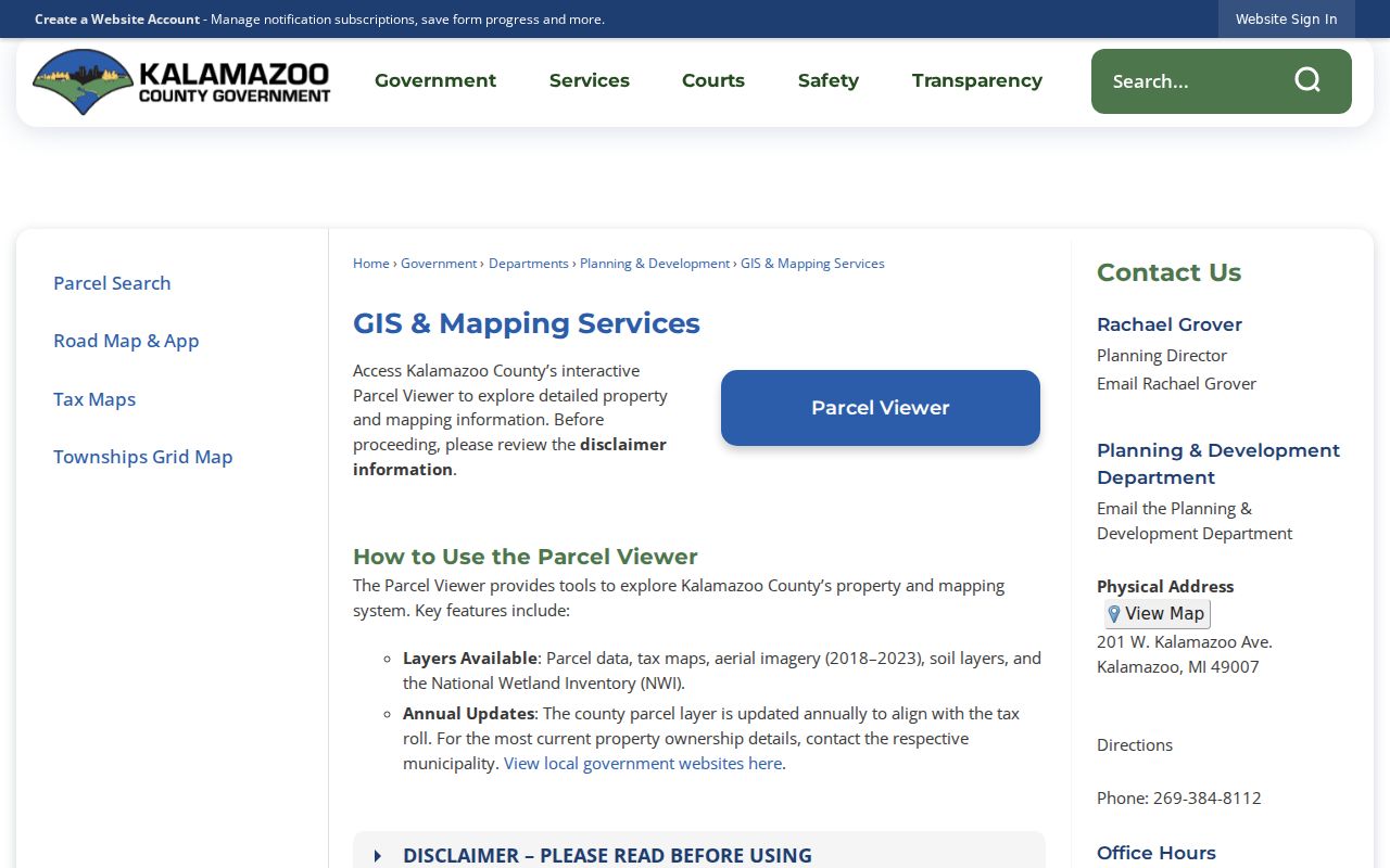
County GIS notes that errors and discrepancies are possible. Use it to orient an address, then return to USPS and the parcel detail for the actual address decision.
Oshtemo Township ZIP Code History Checks
The county Street Directory is a dated address baseline, not a permanent postal record. Its 2020 edition, dated March 30, 2021, can help compare a road name, address range, municipal label, and ZIP shown at that time. When an older directory or deed uses a different street form, compare the county entry with current USPS output, Oshtemo GIS, county GIS, the legal description, and a historical plat. A road can be extended, renamed, renumbered, or cross a governmental boundary, so a current ZIP should not be projected backward without checking the record date.
Kalamazoo-area historical directories may print Kalamazoo for an Oshtemo-area address. That city line can be postal shorthand rather than a statement about the parcel’s government unit. For a historical property question, retain the directory year, the printed address, the current parcel number, and any changed street form as separate evidence. No ZIP-capable source in the research was verified as a complete historical ZIP-change database.
What Oshtemo Township ZIP Codes Cannot Confirm
A ZIP is a postal routing label. ZIP+4 adds delivery detail, but it does not establish ownership or occupancy. A PO Box ZIP directs mail to boxes, while a unique ZIP is assigned for a particular organization or facility. A carrier route is a mail-delivery grouping. These are useful terms for reading postal data, but the research did not identify a complete township list of delivery, PO Box, unique, or carrier-route ZIP categories. Definitions should not be mistaken for a local coverage claim.
- ZIP
- A postal-routing identifier used to sort and deliver mail, not a land or government boundary.
- ZIP+4
- An added four-digit delivery-routing detail that does not identify an owner or occupant.
- PO Box ZIP
- A ZIP designation used for post-office boxes, which is not automatically a physical delivery area.
- Unique ZIP
- A postal designation assigned to a specific organization or facility, where USPS makes that assignment.
- Carrier route
- A mail-delivery grouping used by USPS, separate from parcel and jurisdiction records.
USPS itself cautions that an address lookup does not confirm a person or company at that address. Parcel ownership, civic registration, historical directory entries, and postal results each describe different records with different dates and limits.
ZIP Code Boundaries and Oshtemo Township
No official complete physical ZIP polygon or township-wide ZIP list was located for Oshtemo Township. That research gap is a reason to verify address by address, especially near a road or government boundary. A possible second ZIP, including a possible 49006 service area, was not established as township-wide and should not be treated that way without current USPS or county evidence for the specific location. Unofficial ZIP-site statements were not used.
For historic address work, compare the directory year with a current parcel or GIS record and a historical map or plat. A postal-city change does not necessarily show annexation. If a township-held record is not available through a normal portal, the Clerk’s FOIA request process is the documented fallback, subject to Michigan FOIA exemptions and applicable fees.
Note: The most reliable ZIP result is tied to the exact street address, its lookup date, and the government field from the matching parcel record.