
Previous Residents by Record Era in Oshtemo Township
One address can have several kinds of historical evidence. Start with a current parcel record to anchor the site, then use the deed chain for recorded transfers. KPL sources carry the earlier research burden when the online index is incomplete. Printed directories, maps, Gazette material, probate, cemetery records, and permits can add context, but none should be substituted for another. In particular, a property owner and an occupant are different facts. The table separates the known coverage from the question each source can support.
| Source | Known years or era | Where held | What it can show |
|---|---|---|---|
| County parcel and township GIS | Current reference information | County Parcel Search and Oshtemo GIS | Parcel ID, current fields, Gov Unit, and approximate map context |
| Register of Deeds images and index | Images from 1831; complete index from 1984 | County Register of Deeds and online records search | Recorded parties, instrument, dates, legal description, and image |
| KPL deed microfilm | 1831–1903 | KPL Local History | Earlier land-record and grantor or grantee research |
| Kalamazoo directories | Beginning 1860; cited source page through 2018, with gaps | KPL Local History | Printed address and household or business entries |
| National Archives directory cross-check | 1927, 1929, and 1931 | National Archives microfilm listing | Kalamazoo year-specific comparison |
| Gazette microfilm and index | Microfilm nearly complete, 1834 to present | KPL Local History | Newspaper citations and dated local context |
For a recent question, begin with the parcel and recorder trail. For an earlier one, retain the legal description and move to KPL's deed microfilm, historical directories, maps, and Gazette material. The National Archives listing is a check for its three named Kalamazoo years, not a continuous township set. Note: A source's coverage date describes the source, not a guarantee that a particular address or person appears in it.
Start an Oshtemo Township Previous Residents Trail
Enter the current street address in the Kalamazoo County Parcel Search and compare it with the Oshtemo public map. Record the parcel number, situs and mailing fields when shown, the Gov Unit, and the approximate map placement. County guidance says property lines are approximate and may move on the map. A licensed surveyor is the source for a definitive boundary. This first check is especially important because a mailing address can say Kalamazoo while the governmental unit is Oshtemo Charter Township.
The KPL Oshtemo history resource provides local historical context for a focused property question.
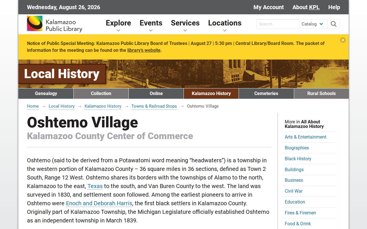
Use township history to orient the research, but keep the parcel record and recorded instrument as the property-specific evidence.
A practical record flow is: current address and parcel number → Gov Unit and map check → owner of record → named deed search → earlier grantor and grantee searches → historical address sources. This preserves the point where the evidence changes from a present record to a historical clue.
Trace Oshtemo Township Past Owners
The Kalamazoo County Register of Deeds recommends a name-first search because an address search may be incomplete. First locate the current owner of record through the parcel source, then search that name in the Official Records search. Follow both grantor and grantee directions and try spelling variants. Each recorded document should be treated as its own event. Copy the instrument number, document type, party names, recording date, legal description, parcel reference, and image link before moving to the next transfer.
- Confirm the current parcel identifier, Gov Unit, and owner of record in the current parcel or assessment source.
- Find that owner's recorded acquisition document by name and retain the full instrument details.
- Search the seller from that instrument as a grantee to locate the earlier acquisition when available.
- Repeat the grantor and grantee searches backward, checking spelling variations and the legal description at every handoff.
- When the online path is incomplete, use the KPL 1831–1903 deed microfilm route and ask the Register of Deeds about the appropriate record access channel.
- Grantor
- The party conveying or transferring an interest in a recorded instrument.
- Grantee
- The party receiving that recorded interest. Searching a prior party in both roles helps connect the next document.
- Chain of title
- The documented sequence of recorded transfers affecting a parcel or legal description. It is not a legal title opinion.
- Legal description
- The recorded land description used to distinguish the parcel from a street address that may change over time.
County images reach back to 1831, while the complete index reaches back to 1984 and more documents continue to be added. A public index or copy is not a title examination, a boundary decision, or legal advice. The recorder does not perform title searches. Record the search date and any index gap instead of inferring an unrecorded transfer.
Oshtemo Township Previous Residents Maps
Maps and plats can explain an old legal description, a road layout, a land division, or a changed parcel boundary. KPL lists maps and atlases for 1853, circa 1855, 1861, 1873, 1890, 1910, 1913, circa 1919, 1928, 1953, 1958, 1960, 1964, 1966, 1969, 1972, 1974, 1977, 1979, 1983, 1986, 1989, 1991, 1993, and 1996. Match the map date to the directory or deed event. A map can show whether a road or division existed. It does not establish who occupied a place.
The Library of Congress Sanborn research guide describes how to locate and interpret fire-insurance maps.
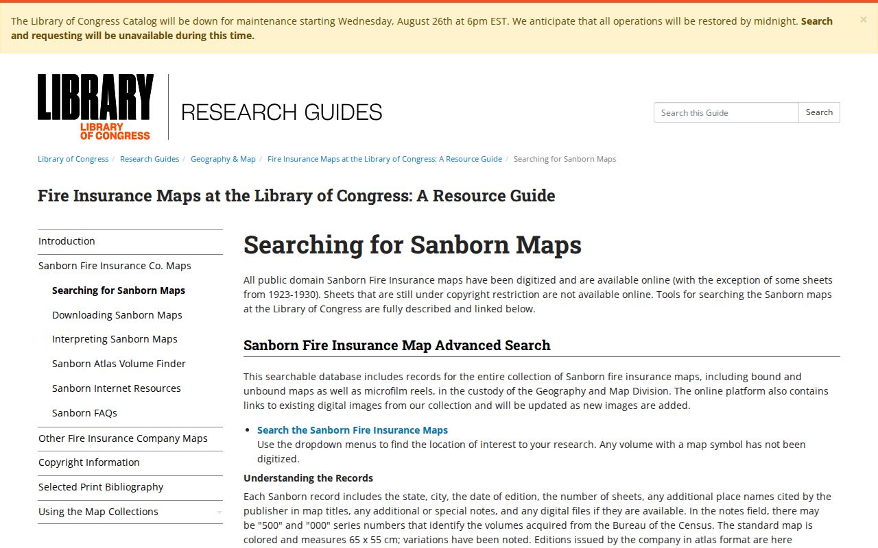
The located October 1891 Sanborn set is for Kalamazoo city and has 21 sheets. It is not township-wide Oshtemo coverage. Use it only after an address and sheet match place the historical location inside that mapped city area.
Oshtemo Township Previous Residents in Directories
Directories supply the household layer that deeds cannot always provide. KPL's Kalamazoo run begins in 1860, and its cited R. L. Polk page describes 1860 through 2018, with gaps and generally alternate-year coverage. Keep each printed spelling, street line, place label, volume, page, and cross-reference. The Oshtemo Township city directory collections have the shelf and entry-reading detail. Here, use the directory only as one dated step beside the parcel and deed trail.
Where a legally available census schedule can be consulted, pair its household detail with the nearest directory entry rather than assuming identical address coverage. Then check Gazette material, a probate case, cemetery record, or vital source when the trail reaches a death, estate, or family relationship. The result should say what the source establishes, such as a printed entry or a party to a recorded deed, rather than making a timeless claim about a resident.
The Library of Congress criss-cross guide explains address-to-name directories and notes a Kalamazoo 1945 reference.
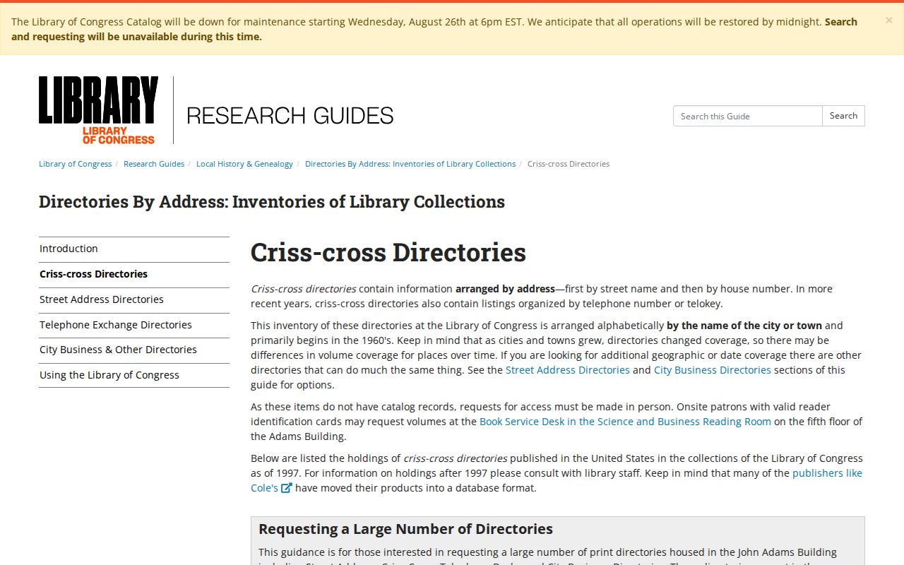
The exact local reverse-directory run is not confirmed, so a criss-cross reference is a lead to verify with the holding institution, not an assumed address index.
Oshtemo Township Previous Residents Archive Alternatives
When an index runs out, move through the official-source ladder instead of filling the gap with an unsupported name. KPL provides local microfilm, maps, directories, card files, and newspaper resources. The Kalamazoo Probate index can supply a case number, type, status, file date, attorney, fiduciary, and document-entry lead, but it has no online images. Probate materials extend from 1832, with microfilm for 1832–1990, files for 1990–1995, and an online index from 1995 forward plus active earlier cases. Use a case number, dates, and deed or family facts to guard against same-name errors.
For a decedent connection, Oshtemo manages three cemeteries. Township material from 2019 says the Clerk keeps burial records and allows public inspection at reasonable business hours. The KPL cemetery resource also lists a private memorial garden separately from the township-managed locations. A burial record can support a family-history trail, but it should be paired with a date, name variation, probate or deed information, and the record's own access limits.
The WMU Zhang Legacy Collections Center is another local research destination.
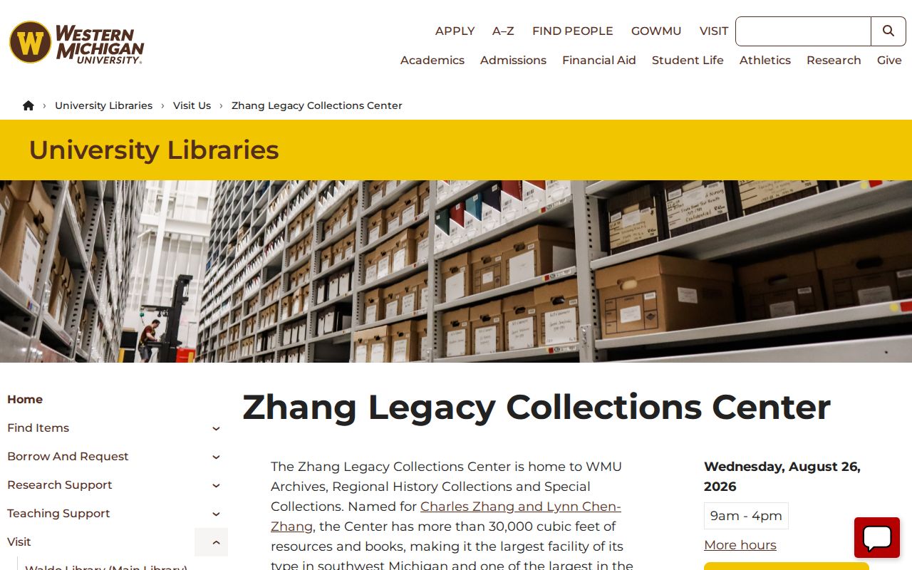
Archive research can provide context or finding aids, while county records remain the official route for a deed, vital certificate, or court file.
The WMU archive collections page identifies the wider archival collection path.
For a death-related property transfer, use probate, a recorded instrument, an eligible vital record, and cemetery or Gazette evidence as separate corroborating sources.
Oshtemo Township Property Record Limits
Property history can include more than deeds. The Oshtemo Building Department provides permit applications, inspection requests, and payment paths. Building material may identify an owner, property location, lot or parcel, building or structure, proposed work, and inspections. During high-volume periods, the department warns that processing can take 7–10 business days. A permit can document an improvement request or inspection trail. It does not establish who lived at the address.
A zoning verification request costs $50 per property and covers the zoning district, allowed uses, conformance or legal nonconformance, and listed open zoning or ordinance violations. It does not provide every permit, complaint, or historical occupancy fact. For records outside that limited report, direct a specific request to the actual custodian and use township FOIA where appropriate.
Oshtemo Township Previous Residents Limits
Past residents research is strongest when it stays focused on a family-history, estate, property-history, or civic-record question. A parcel owner, voter result, historical directory entry, business address, probate listing, or cemetery record does not by itself confirm a current resident. Michigan FOIA, vital-record restrictions, court exclusions, voter redactions, and the Address Confidentiality Program all set boundaries on what can be obtained or republished. If a source does not identify the needed fact, preserve the uncertainty rather than trying to reconstruct a protected address.
Lawful use. Michigan stalking law, MCL 750.411h, covers a course of conduct involving two or more acts and unconsented contacts. Keep address research bounded and do not use records to track, harass, or harm a living person.
For an incomplete trail, check the source date, then move from the online portal to the responsible county or township office, a written request, KPL, WMU, or the appropriate archive. Record the remaining gap. Note: An absence from one directory, map, or index is not evidence that an address had no occupant or that a person moved on a particular date.