
Oshtemo Township Neighbors by Parcel
The most reliable public starting point for Oshtemo Township neighbors is the parcel around a known address. The map and parcel systems can place that address in a governmental unit, show nearby parcels, and identify a recorded owner. They do not supply a lawful universal list of current occupants. Individual voter information, historical directories, and local-history sources each answer a different, narrower question. Use only the source that fits the question, then retain the date and record type beside the result.
| Source | What it shows about a block | Access |
|---|---|---|
| Oshtemo Maps and GIS | Parcel ID, name, property-address search, map layers, and adjacent parcel context | Public web map, with approximate-line warning |
| County Parcel Search | Owner of record, parcel ID, street result, and governmental-unit detail | Search by owner, parcel ID, or street |
| County Parcel Viewer | County map context and nearby property records | Official ArcGIS viewer |
| Michigan Voter Information Center | Individual registration, polling place, and district information | Individual lookup, not a block roster |
| KPL Local History | Historical directory, map, newspaper, and local context | Collection, database, and on-site research routes |
A parcel owner can be a person, trust, or entity, and the mailing field may differ from the property address. The owner of record is not automatically the current occupant. Similarly, a historic directory name is a dated entry, not proof that someone remains at the property. These distinctions matter whenever Oshtemo Township neighbors are researched around a single address.
Read the Oshtemo Township GIS Map
Oshtemo's public web map searches by Parcel ID, Name, or Property Address. Once the correct property appears, the surrounding map provides adjacent-parcel context and includes a Sanitary Sewer layer. The county's viewer adds another official mapping route. Both are useful for discovery, but neither is a survey. The township warns that property lines are approximate and can move on a map display.
Use map pins to locate a parcel and inspect its record, not to decide a disputed boundary, driveway, easement, or purchase issue. A licensed surveyor and recorded documents are the definitive sources for that kind of question. County GIS data also comes from multiple township, village, city, county, state, and federal inputs, so errors or discrepancies remain possible. Save the parcel ID and source date with any adjacent-parcel observation.
Note: Map lines are approximate, and a licensed surveyor plus recorded documents is required for a boundary, easement, driveway, or purchase decision.
Confirm Oshtemo Township Parcel Numbers
The county grid-map example uses a parcel ID beginning with 05 for Oshtemo. It is a useful routing clue, not a boundary decision. In the example, the next portions identify section, quarter-section, and parcel. A prefix of 06 can lead into Kalamazoo City, Kalamazoo Township, or Parchment. Before calling a property part of Oshtemo Township, open the parcel detail and check its Gov Unit field.
Postal labels can complicate the picture. A property may use Kalamazoo as its USPS city line while the governmental unit is Oshtemo Charter Township. ZIP and mailing lines are routing information, not proof of municipal jurisdiction. For block research, retain the property address, parcel number, governmental unit, and legal description as separate fields. That gives the next record custodian enough detail to verify the same parcel without guessing from a map label.
Note: A parcel prefix narrows the search, but the Gov Unit in the record is the field that should guide an Oshtemo Township conclusion.
Map Your Oshtemo Township Neighbors
Work outward from one verified parcel rather than trying to assemble a list for a whole area. This parcel-centered method keeps each step tied to an address, a map relationship, and a recorded result. It also makes the limits of the record clear.
- Search the known address in the Oshtemo web map or County Parcel Search, then confirm the property address, parcel ID, and Gov Unit.
- Inspect the nearby parcel shapes in the official map and record only the adjoining parcel IDs that the map displays.
- Open each parcel record to identify its owner of record, mailing field, situs field, and legal description when shown.
- Keep the map date and distinguish a parcel relationship from a surveyed boundary or an occupancy claim.
- For a named street's wider record trail, use the Oshtemo Township street directory rather than extending a neighbor search beyond the immediate block.
The result is a modest record trail: address to parcel, parcel to adjacent parcel, then adjacent parcel to owner of record. It is not an answer to who is present at every address. If a map and a parcel detail disagree, stop at the discrepancy and ask the appropriate township or county custodian which record controls the stated question.
Oshtemo Township Owner and Occupant Limits
Owner data is a property record. It can identify the owner of record, but it cannot safely be relabeled as a current household list. The same caution applies to a mailing address, a voter-registration result, a deed grantee, or a name found in historical material. Each is a record fact of a particular type and date. No official township-wide source found in the research confirms all current residents at an address.
| Official parcel and civic records | Commercial neighbor-lookup category |
|---|---|
| Names the public custodian, record type, source date, and defined search method. | May combine records from different dates and sources, so a displayed name needs independent verification. |
| Can show a parcel, owner of record, governmental unit, or individual civic result within stated limits. | Cannot establish present occupancy merely by placing a name near an address. |
| Offers a custodian for record questions, corrections, or access rules. | Requires users to assess the source date, accuracy, and lawful-use rules before relying on a result. |
For neighborhood curiosity, the official parcel route is more transparent because it identifies what the result is. It also avoids treating a property connection as proof of personal identity. That restraint is especially important near township and city boundaries, where a familiar street or mailing label can conceal a different governmental unit.
Oshtemo Township Community Contacts
Research did not locate a confirmed, complete official inventory of Oshtemo neighborhood associations. Rather than invent association names or membership lists, use verified government and community resources for a defined question. The contacts below provide service, records, or historical context. They are not a directory of private neighbors.
| Verified resource | Useful neighborhood context | Access |
|---|---|---|
| Oshtemo Township Departments | Routes questions to Assessing, Building, Clerk, GIS, Planning, Public Works, and related township services. | Official department directory |
| Oshtemo employee directory | Provides government contact information for officials and departments, not resident information. | Official township contact page |
| Oshtemo Historical Society | Offers local-history context, including the Drake House project and society information. | Community organization site |
| Kalamazoo Public Library Local History | Supplies historical maps, directories, newspapers, and genealogy leads. | Collection and library access |
The township departments page identifies the appropriate public service contacts.
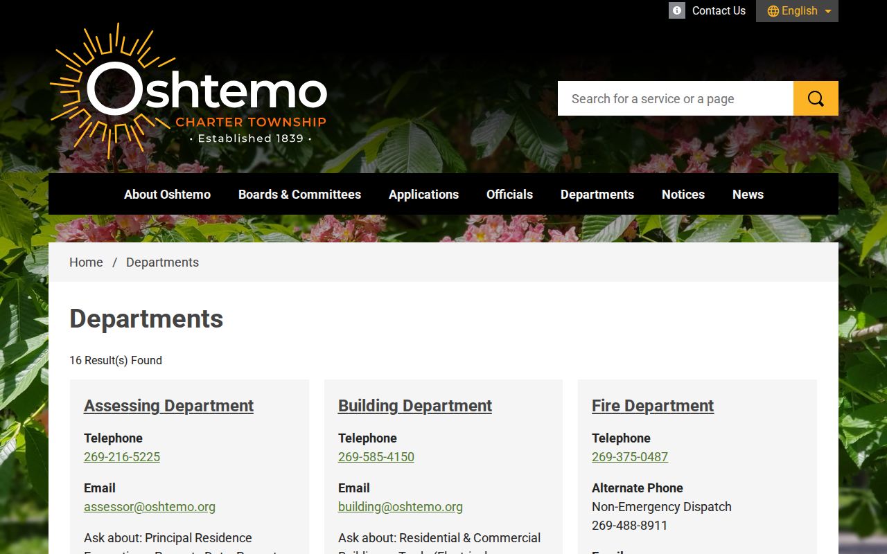
Use a department contact for a specific parcel, service, planning, or records question instead of trying to infer private relationships from a map.
The official employee directory is another government contact route.
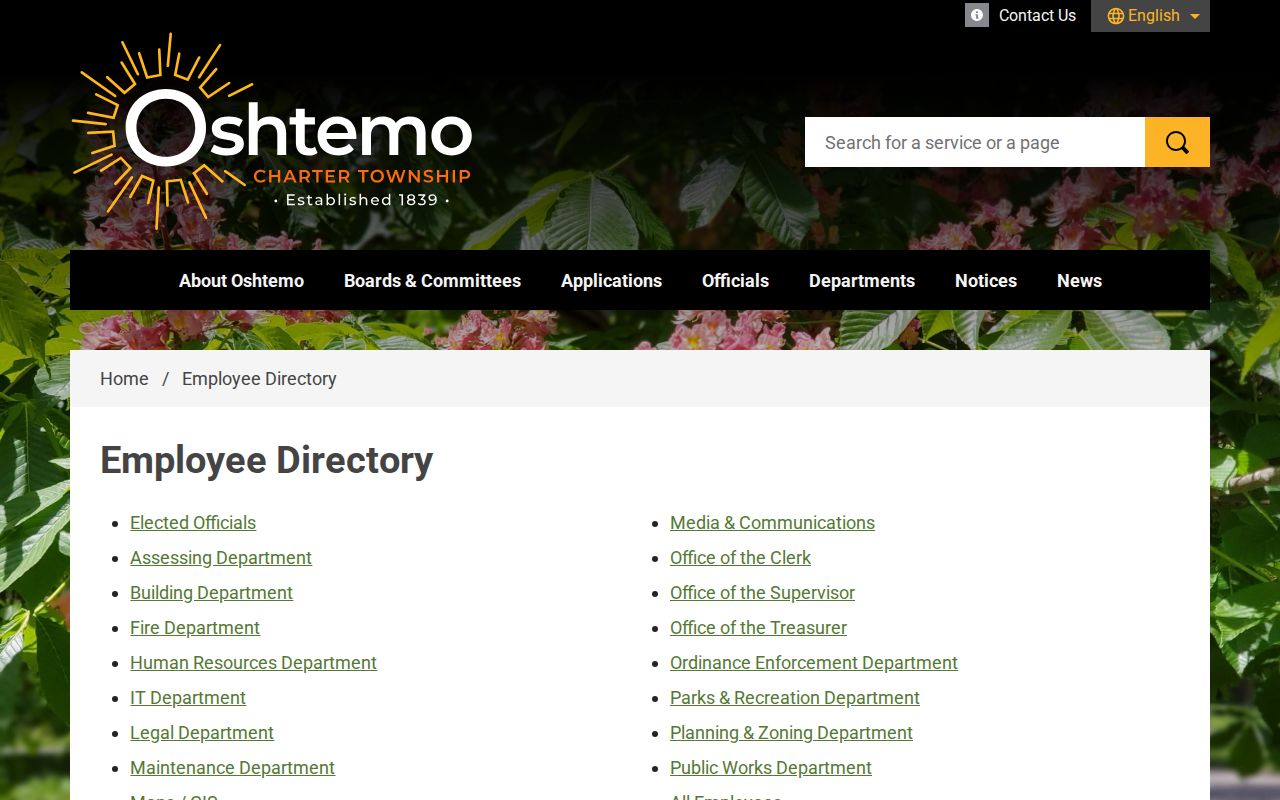
These listed contacts help route public inquiries, but they do not create a verified association or neighbor roster.
Note: A government contact directory routes a question but does not establish a person, household, association, or current block relationship.
Oshtemo Township Neighbor Voter Privacy
Michigan's voter rules support individual registration, polling-place, and district inquiries through the Michigan Voter Information Center. They do not support publishing names and addresses as a block list. MCL 168.509q governs public voter-file fields and redacts sensitive data, including month and day of birth, identification numbers, phone numbers, and signatures. An individual voter result is also not a substitute for a parcel-owner record or a permanent address history.
The Kalamazoo County elections page is the local election-administration route.
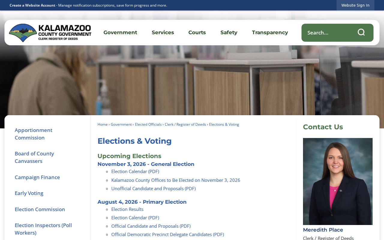
Civic records can confirm election-related information for a permitted individual inquiry, while preserving the privacy limits that prevent a voter file from becoming a neighbor directory.
Oshtemo Township Block Geography
Oshtemo is a charter township of 36 sections, and its geography does not always match a postal-city label. That makes the parcel Gov Unit more useful than a ZIP or a familiar road name when describing a block. The township's Fall 2025 comprehensive-plan work also identified three special-study areas: Lodge Lane, West Main, 9th Street, and KL Avenue at about 80 acres; H Avenue and Croyden Avenue at about 300 acres; and Maple Hill Pavilion Mall at about 70 acres.
Those areas are planning-study geography for a 20-year horizon. They are not claims about who owns a parcel, what will be approved, or who lives nearby. The 2026 spring newsletter also described Genesee Prairie Cemetery expansion and Phase 2 sewer work through older neighborhoods. Dated planning and service notices can add context to a block, but parcel and survey records remain the better sources for a specific property question.
Oshtemo Township Neighbor Safety
The Michigan State Police registry is a public-safety resource, not a general neighbor directory. Its registry search accepts a name, registration or MDOC number, or an address component, and its map offers radius options from one-quarter mile to five miles. Juveniles and protected information are excluded. Treat the radius result as a safety-status search under official rules, not as an identity or residence conclusion.
The Michigan State Police registry information explains the public-safety purpose and limitations.
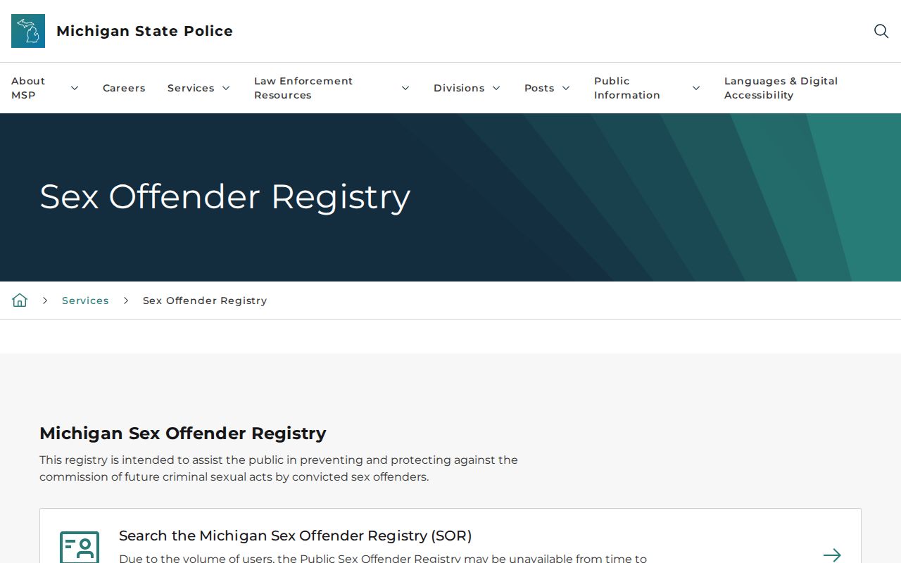
Confirm any matter that affects personal safety through the responsible agency, and do not use a map radius or same-name result to make contact or accusations.
Oshtemo Township Neighbor Privacy Limits
Michigan FOIA does not override protected addresses or every category of personal information. The Michigan Address Confidentiality Program offers qualifying survivors and victims a confidential substitute address. It is not a research route to a protected location. Driver and vehicle information also have separate legal limits, and court files may be sealed or suppressed. If a public record appears wrong, take the correction or access question to the record custodian.
The Address Confidentiality Program page describes its protected-address purpose.
A confidential substitute address should remain confidential. It is not an invitation to seek an underlying location through parcel, voter, or map records.
Lawful use. Use Oshtemo Township neighbor records for lawful property, civic, history, and personal-safety questions. Do not use them to watch, stalk, harass, intimidate, or harm any person.