
Tracing an Oshtemo Township Street
A street-by-street search in Oshtemo Township works best when it begins with the location, then moves outward through records that can be checked against one another. The county parcel result can supply a parcel number, situs address, mailing address, and government unit. The map can then show the parcel in relation to the road. Recorded documents are searched by name, legal description, parcel reference, or instrument detail, rather than by assuming an address is complete. A voter result is a separate, person-specific civic record, not proof of ownership or a universal household list.
- Enter the address in the Kalamazoo County Parcel Search and confirm the property summary, including Gov Unit, before treating it as an Oshtemo Township parcel.
- Keep the parcel number, situs address, and mailing address as separate notes. They may not match, and each serves a different record purpose.
- Use the Oshtemo Public Web Map to search the address or parcel and inspect its map context.
- Search the Register of Deeds by the owner name, prior parties, legal description, or instrument details to build a documented deed sequence.
- For a known person’s civic information, use the individual Michigan Voter Information Center and record the lookup date. Do not convert a result into a street-wide list.
That order distinguishes an owner of record from a mailing recipient, a historical entry, or a registered voter. It also gives an address search a clear stopping point when the sources do not agree.
Oshtemo Township Parcel Searches by Street
The county parcel tool has Owner, Parcel ID, and Street tabs. Owner search accepts any portion of a name and recommends a last, first, middle format such as SMITH J. Parcel IDs can be searched in full or by prefix. The Street tab accepts a street number with a name, or a street name alone when the goal is to return properties along that road. When spelling is uncertain, the county advises trying the street number alone. A street result can contain several parcels, so each result still needs a property-detail check.
The Oshtemo Assessing Department links to BS&A for assessment information. Assessing covers sales, PRE, property characteristics, new or remodeled structures, personal property, and land divisions. Its stated normal response is 24 hours, with up to seven days during busy periods. BS&A offers Address, Name, and Parcel Number modes, plus current tax, sale, and assessing searches. The captured source did not establish every live filter or a complete historical date range, so results should be read as the portal presents them.
At the Oshtemo Assessing Department, the image below identifies the local assessing route used with the county parcel tools.
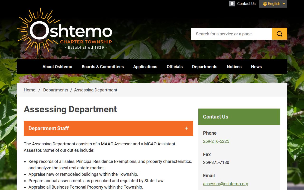
Use the department page to route an assessment question, then retain the source date and the exact parcel selected from the result set.
Oshtemo Township Street Search Fields
Search fields matter because they determine whether the result is a street set, a person-name match, or a single parcel reference. The county example 05-10-256-010 explains one Oshtemo parcel pattern: 05 identifies Oshtemo, 10 the section, 256 the quarter-section, and 010 the parcel. The county also states that town and range will be 3S–11W. A prefix is a useful lead, not a substitute for the property summary. A 06 prefix can refer to Kalamazoo City, Kalamazoo Township, or Parchment, so Gov Unit must be checked.
| Search mode | Entry format | What the result can establish |
|---|---|---|
| Owner | Any name portion; county suggests last, first, middle | Potential parcel records for a name, subject to detail review |
| Parcel ID | Full ID or prefix; hyphenated, spaced, or unspaced formats accepted | A particular parcel trail and its summary fields |
| Street | Number and street name, or street name alone | A set of parcels associated with that street search |
| BS&A Address | Address mode in the Oshtemo BS&A bar | An address-based route into assessment, tax, sale, or assessing information |
Note: A partial owner-name or street match is a starting point, not confirmation that every returned record concerns the same person or location.
Oshtemo Township GIS Along a Street
Oshtemo’s Public Web Map searches by Parcel ID, Name, and Property Address. It complements, rather than replaces, the county map and parcel result. The local map includes a Sanitary Sewer layer, while the county GIS combines information from township, village, city, county, state, and federal sources. That combined approach makes the map useful for orientation and for seeing parcels near a road, but the county warns that errors or discrepancies are possible.
The Maps and GIS page shows the local public-map entry point, search options, and the caution that lines are approximate.
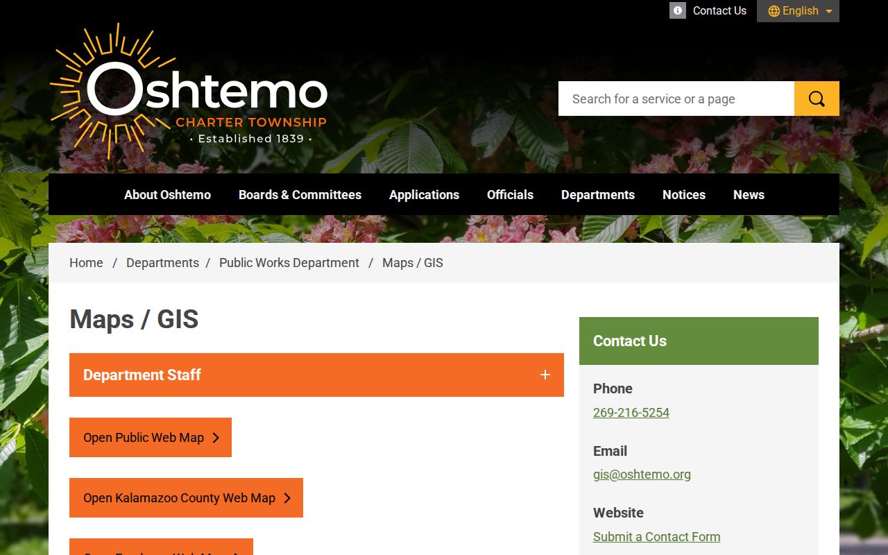
Use a map pin to locate a record, then verify the parcel ID and legal description in the underlying property and recorded-document sources.
The Kalamazoo County Parcel Viewer offers the county-side view for comparing adjacent parcel context.
Neither viewer settles a line dispute. Oshtemo states that property lines are approximate, and a licensed surveyor is the definitive source for a boundary.
Oshtemo Township Street Names and Ranges
The county’s 2020 Street Directory, dated March 30, 2021, is a useful address-reconciliation source. It describes the local convention that north-south roads generally use Street and east-west roads generally use Avenue. Cul-de-sacs may use Circle, Court, Place, or Way. The document’s guidance also seeks to avoid ambiguous names, unnecessary directionals, and duplicate street names. These conventions help when checking a legal description or a printed historical address against a current search field.
The PDF gives source-specific examples, not township-wide ZIP coverage: N 10th St is shown roughly from 800 to 4999 in Oshtemo Township and with ZIP 49009; Oshtemo Trace is shown roughly from 887 to 1288; and Oshtemo Ridge Trail roughly from 1327 to 1578. The latter two are also listed with ZIP 49009. Compare the current USPS result, map, and parcel record for the exact address.
The Kalamazoo County townships grid map provides the county’s parcel-prefix context for Oshtemo Township.
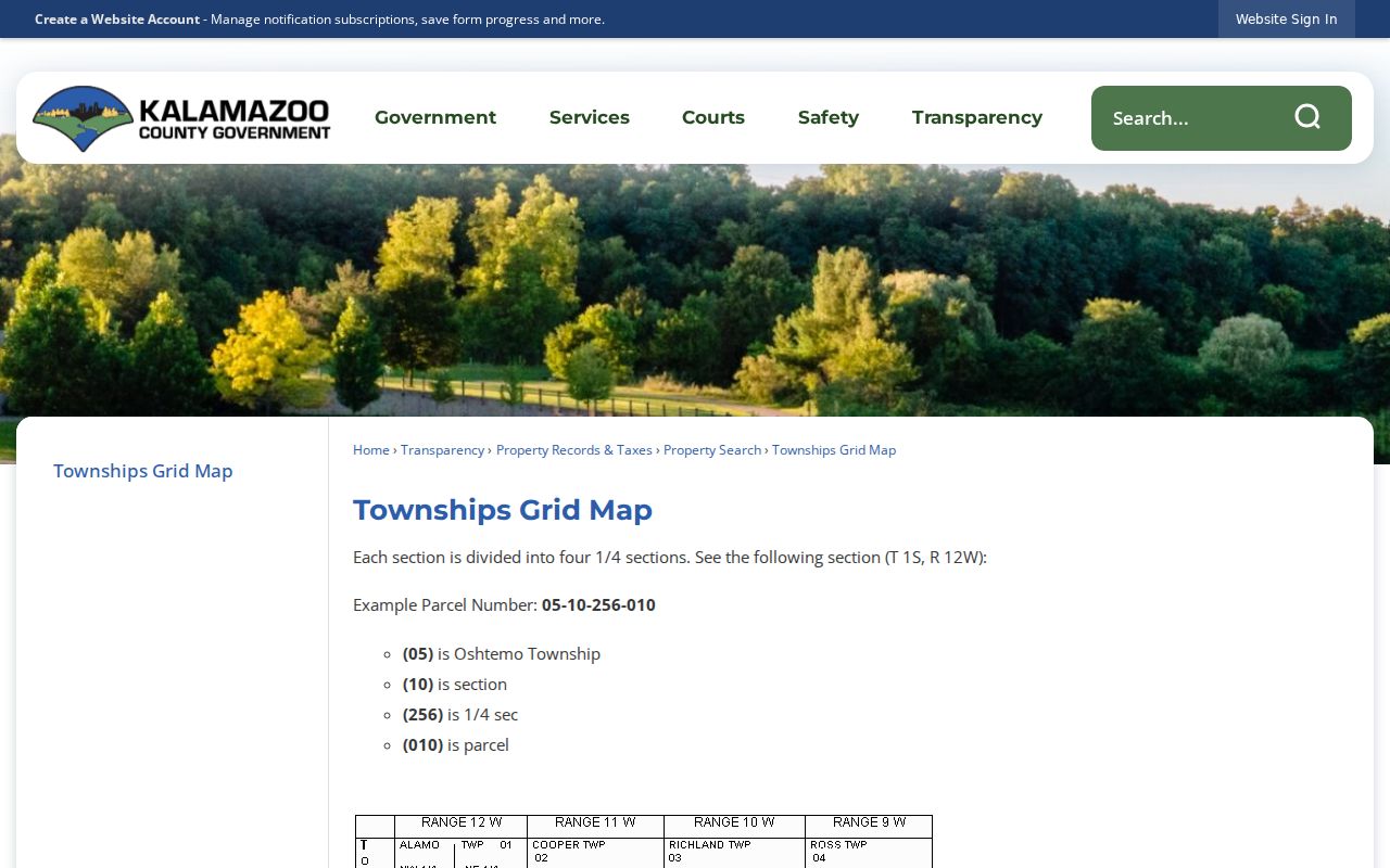
No complete official road-renumbering or renaming log was located for every Oshtemo road. For a disputed historic address, compare the dated street directory, plats, deed description, current USPS result, and map records rather than assuming a modern street name has always applied.
Oshtemo Township Address Record Terms
Address research is easier when each record label is preserved instead of flattened into one address. A mailing address tells a custodian where notices go. A situs address identifies the property’s physical location. A legal description ties the parcel to recorded land language. These distinctions matter in Oshtemo Township because a postal address can use Kalamazoo even when the parcel’s Gov Unit is Oshtemo Charter Township.
- Parcel
- A defined unit of land identified in the property system by a parcel number.
- Situs address
- The physical property address shown for the parcel, distinct from an owner’s mailing address.
- Plat
- A recorded map or plan that can help identify a subdivision, lot layout, or land division.
- Criss-cross directory
- A reverse address directory arranged from a street address to an entry, when a relevant volume exists.
Postal routing does not decide governmental jurisdiction. Record the county property result’s Gov Unit alongside both address fields before using a street-directory result in local research.
Oshtemo Township Deed Chains by Address
The Kalamazoo County Register of Deeds records and preserves deeds, mortgages, liens, plats, and related land instruments. Its online system is name-first. The county advises that an address is not necessary and may be incomplete, so start with the owner shown in the parcel detail, then search grantor and grantee names, spelling variants, trusts or entities, parcel references, legal descriptions, and instrument numbers. Follow the current record owner to the prior deed, then back through earlier parties while keeping recording date and transaction date distinct when both appear.
Images reach back to 1831 and the complete index reaches back to 1984, with additional documents being added. For earlier work, Kalamazoo Public Library holds deed microfilm from 1831 to 1903 with grantor and grantee indexes. The recorder supplies a public index and copies, not a title examination or a legal conclusion. Copies cost $1 per page plus a $2.50 technology fee.
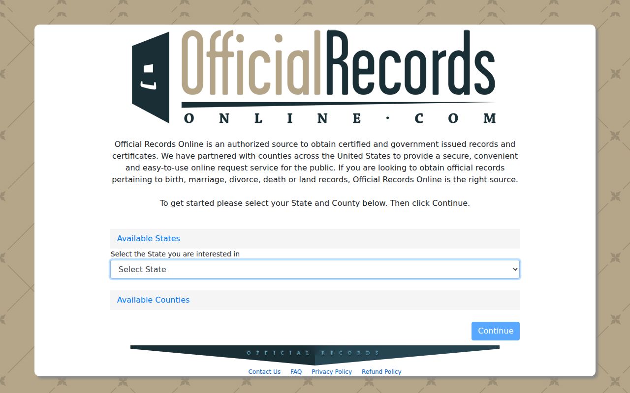
The Official Records search image highlights the county’s name-first route and its coverage information.
Keep the image link, parties, document type, recording date, legal description, and parcel reference together. That record set gives the street directory a documented ownership trail rather than an address-only assumption.
Oshtemo Township Permits Along a Street
Building information can add a property-history layer to an Oshtemo Township street search. The township’s Permit Applications and Forms page covers building, demolition, electrical, mechanical, gas, plumbing, and related requests. Building records may show proposed work, a lot or parcel, an owner or project location, a structure, and inspections. The full field set was not captured in the unattended research, so it should not be assumed from a page title alone.
The department warns that high-volume processing can take 7 to 10 business days. Planning zoning verification is a separate $50-per-property request. It covers the district, allowed uses, conformance or legal nonconformance, open zoning violations, and open ordinance violations. It does not supply every permit, complaint, or historical occupancy fact. Records outside routine verification may require a request through the township Clerk under Michigan FOIA.
Note: Permit or zoning material can identify a property record, but it should not be used to infer who is currently at an address.
Historic Oshtemo Township Street Entries
For an older address, begin with the current parcel and then compare the street directory, plat or atlas, deed chain, and historical directory entry. Kalamazoo Public Library’s local-history resources hold city directories beginning in 1860, maps, newspapers, and other regional material. A reverse-address directory can be useful when the exact street and number are known, but the research only located a Kalamazoo 1945 reference and did not confirm a complete Oshtemo or Kalamazoo criss-cross run. Treat a missing entry as an unresolved gap, not proof that a household was absent.
Historical records may print Kalamazoo for an Oshtemo-area address. A postal-city label can change without an annexation, and a road may cross a government boundary. The Directory Book has the collection-focused context for historical volumes; the street directory remains the place to reconcile an old entry with the present parcel and road.
Oshtemo Township Street Records Compared
Each address-keyed source answers a narrow question. Pairing sources is more reliable than assigning a person to a street from one name or one map pin. Parcel and assessment results are strongest for the owner of record and property details. A deed index supplies recorded land instruments. A voter lookup is individual and governed by public-field limits. Building and planning material concerns the property or proposed work, not a complete household history.
| Address record | Custodian | Street-level value | Access and limit |
|---|---|---|---|
| Parcel and assessment record | County Parcel Search, Oshtemo Assessing, and BS&A | Parcel number, owner, mailing and situs fields, value, and property details | Search by owner, parcel, address, or street; confirm the property detail |
| Parcel map | Oshtemo and Kalamazoo County GIS | Address or parcel placement and map context | Lines are approximate and can contain discrepancies |
| Recorded instrument | Kalamazoo County Register of Deeds | Deed, mortgage, lien, plat, and legal-description trail | Name-first search; copies have stated fees |
| Civic registration | Michigan Secretary of State and local clerks | Individual registration, polling-place, or district information | Protected fields are redacted; not a universal street roll |
| Permit or zoning record | Oshtemo Building and Planning | Property improvement or zoning-verification context | Request and processing limits apply |
When an online result cannot resolve a document or property detail, use the custodian’s stated request channel. Township records outside a routine portal can be requested from the Clerk through the Oshtemo FOIA process, subject to exemptions and any applicable fees.
Limits of an Oshtemo Township Street Directory
No official source located for Oshtemo Township supplies a lawful universal confirmation of who currently lives at every address. A parcel owner may use another mailing address. A voter record is not ownership evidence, and the Michigan Voter Information Center is not an address-history database. Michigan’s public voter-file rules protect month and day of birth, ID numbers, phone information, signatures, and other sensitive elements. Address confidentiality protections can also restrict disclosure.
Michigan FOIA, MCL 15.231 et seq., does not override separate restrictions for voter, vital, court, driver, adoption, juvenile, mental-health, Address Confidentiality Program, or sealed material. Keep a result date, state what the source actually shows, and ask the responsible custodian about a correction or access question.